Kaatiala Mine, Finland (June 2018)
Credit: UNEXMIN GeoRobotics Ltd. (UGR)

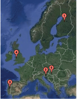
Pegmatite mine, open-pit and small underground part.

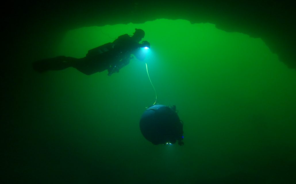
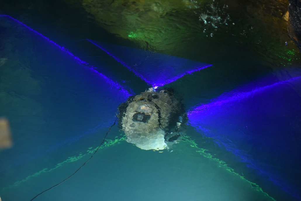
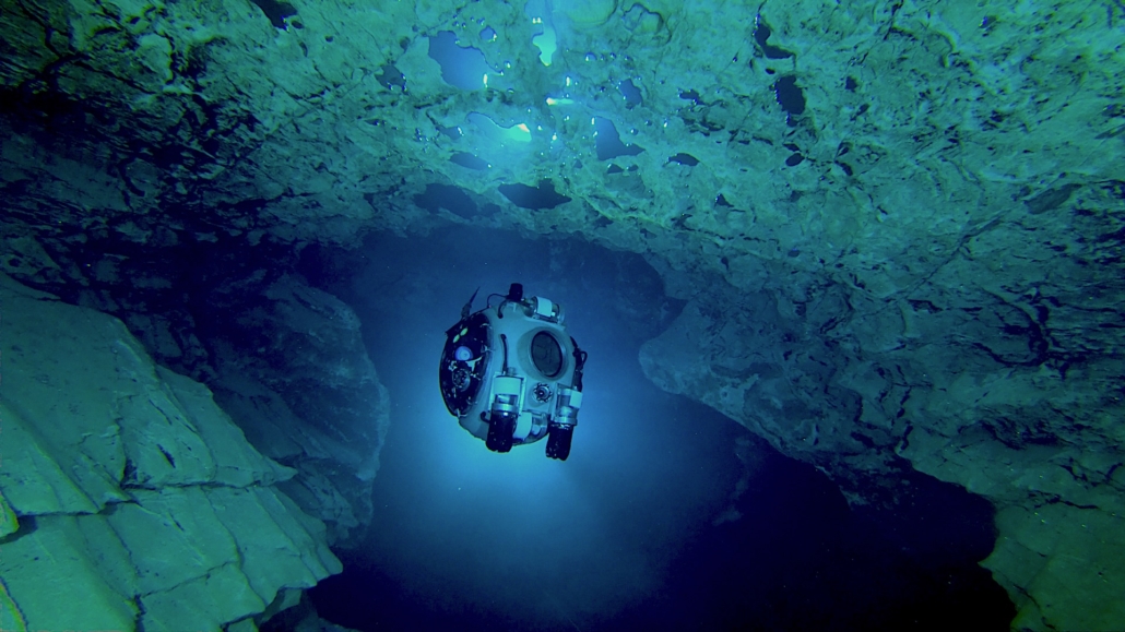
  • UX-1 was successfully tested in a real life environment

  • Two test sites: shallow part, and deep part of the quarry

  • Navigational and ballast systems were tested and worked well

  • Depth control system tested and proved to be working

  • 2-hour long dives approximately

  • Maximum depth of about 30 meters

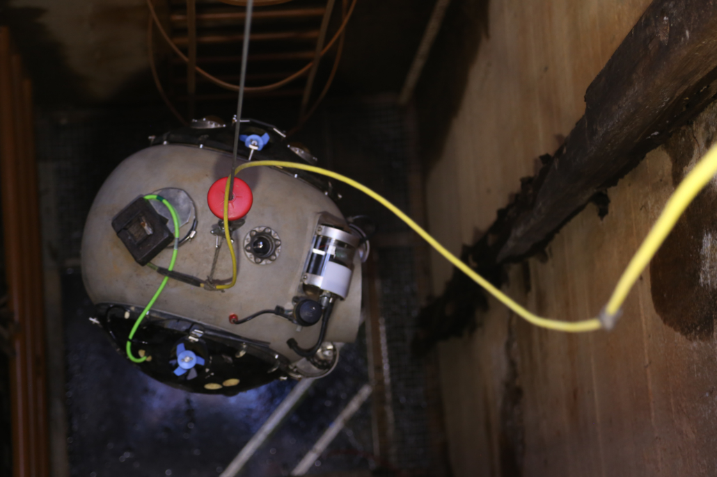
  • Successful mapping of old underground drive

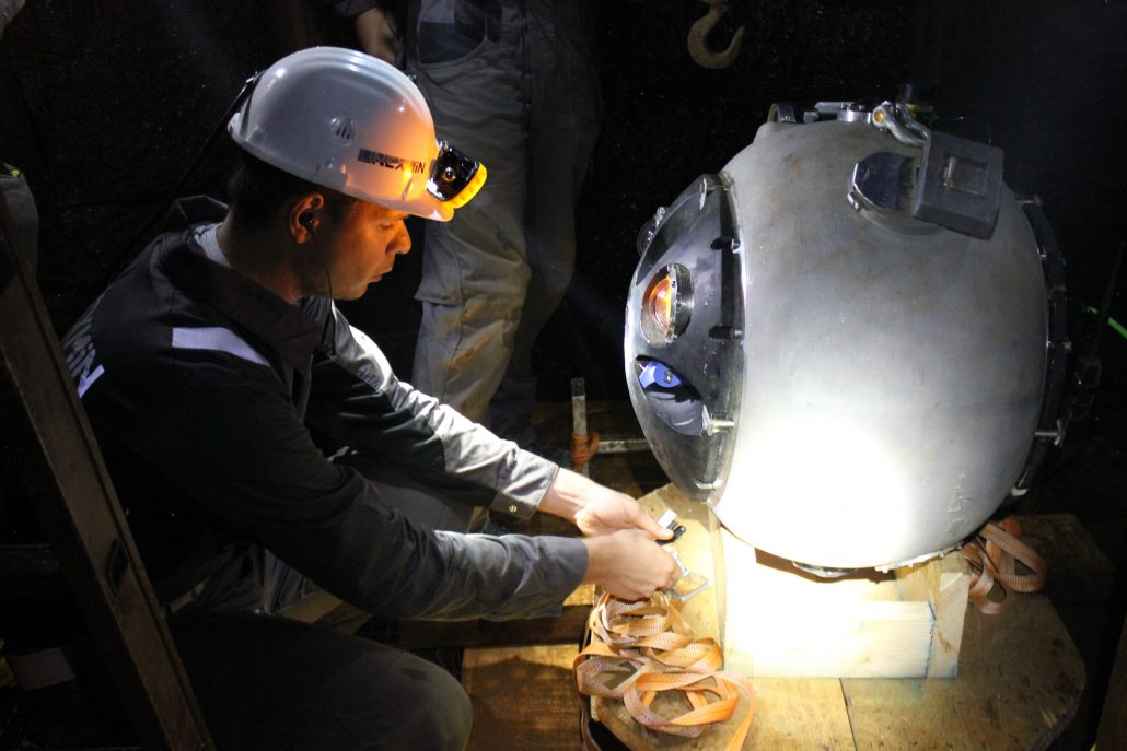
  • MSU camera and LED synchronisation were successfully tested outside the water*

      *not tested on any dive, one of the control board was broken by accident

Idrija Mine, Slovenia (September 2018)
Credit: UNEXMIN GeoRobotics Ltd. (UGR)

Mercury mine, UNESCO World Heritage site.

  • Movement, control and 3D mapping to explore shafts in confined environments

  • Total of 11 dives within the span of two weeks

  • Fully autonomous dive of the robot to the depth of about two meters

  • UX-1 reached the bottom of the shaft at 26,2 m and mapped the entire area

    • Approximately two hours, 1.5h for the descent to the bottom of the mine and approximately 0.5h for the return to the surface
  • The pendulum system was tested with dives at different pitches (0° and 90°)

  • The multispectral camera unit has been proven to be working well

  • The robot has proven to be working well in very challenging environments

Urgeiriça Mine, Portugal (March/April 2019)
Credit: UNEXMIN GeoRobotics Ltd. (UGR)

Uranium mine in granite pegmatite.

  • Total of 18 dives

  • Maximum depth reached at 106,5 meters

  • Mine’s main shaft as well as side tunnels have been explored and mapped

  • Video footages, point clouds of the shaft and side tunnels

  • Multispectral images and UV fluorescence lights of the rock wall

  • Focus on debugging the software and improving hardware to eliminate problems and correct open issues

  • All key success factors were achieved, making this trial a successful one

Ecton Mine, UK (May 2019)
Credit: UNEXMIN GeoRobotics Ltd. (UGR)

Cu–Zn-Pb mine flooded in 1858 and never previously resurveyed.

  • Up to 125m depth. Total of 10 dives, in 3 shafts

  • Two robots to navigate and acquire data from the mine (UX-1a and UX-1b)

  • The data collected include video footage and point clouds

  • The control systems were successful in maintaining the desired depth during the dive

  • Data processing provided rapid access to high resolution videos from all five cameras, for LED ‘white’ illumination and for ultraviolet illumination

  • 3D models constructed from sonar and SLS data showed the size and shape of mined pipe workings

  • During the Ecton test period the robots successfully collected data from MSU, EC and pH meter and subbottom profiler. UX-1b also collected water samples with Water Sampler Unit

Molnár János cave, Hungary (June/July 2019)
Credit: UNEXMIN GeoRobotics Ltd. (UGR)
  • Cave system reaches up to a length of 6km, with sections up to 100m depth

  • Selected location to test and improve the prototype’s autonomy

  • New testing environment for the project team and the UX-1 robots

  • 10 autonomous navigation missions were successfully achieved